Fencing in Wesburn
Wesburn is a strip of houses on the highway with forest and farms behind, and the fence rules change as soon as you leave the strip.
We connect you with a local fencer who works in the Yarra Valley.
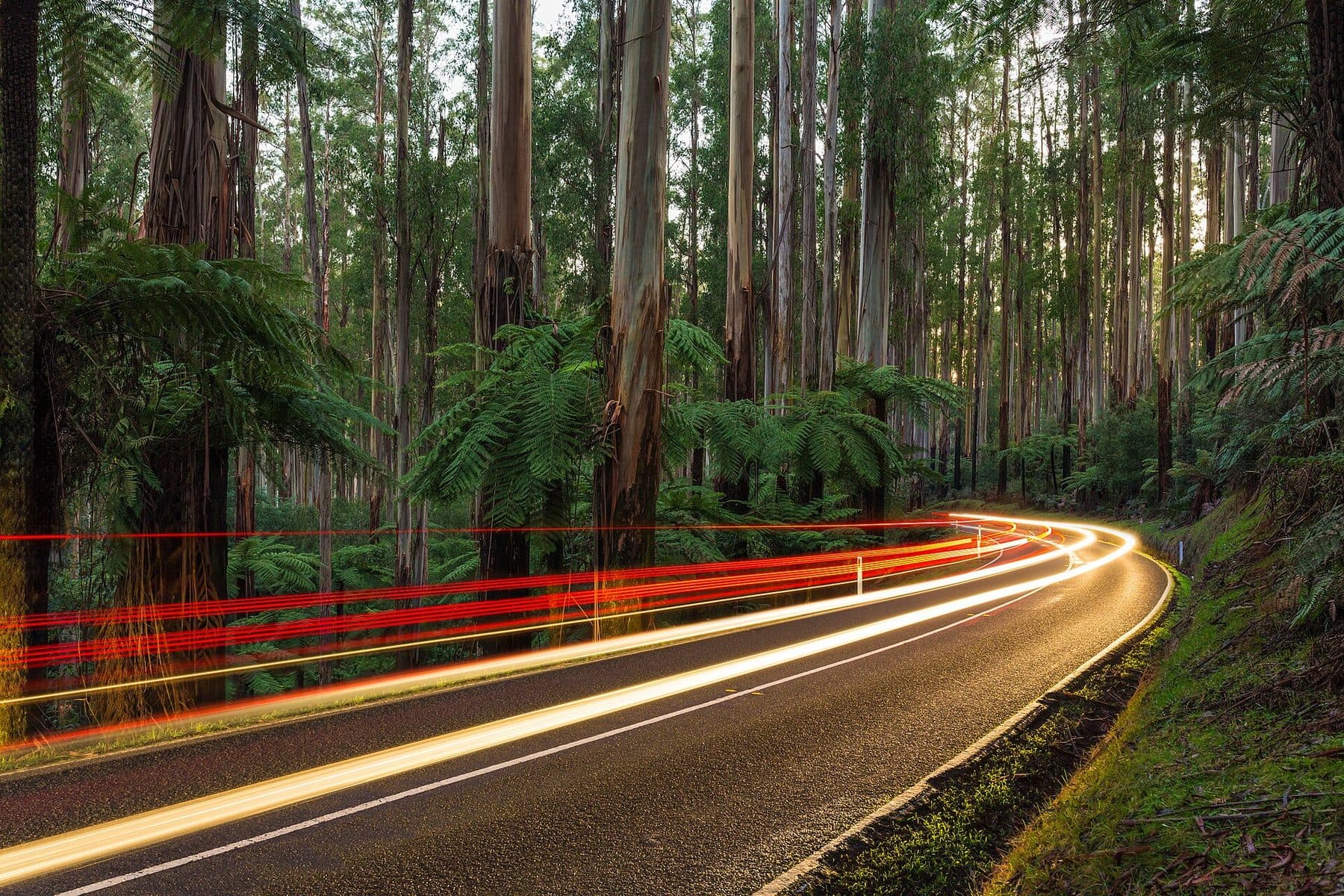
Ask for a quoteThe Black Spur, past Healesville. Photo: Diliff, CC BY-SA 4.0

Houses along the highway
Wesburn, once West Warburton, is mostly rural, with a narrow strip of houses along and just off the Warburton Highway. Only about 2% of the locality is zoned residential, and the house blocks there carry almost no landscape overlay. So for most of them the planning scheme asks nothing about an ordinary fence, and the building rules decide: up to 2 m with no building permit, but 1.5 m within 3 m of the street (1.2 m in brick or concrete).
Checked 25 October 2026 against Wikipedia: Wesburn, Victoria, Vicmap Planning, the state's zone and overlay maps (DataVic), measured across the suburb, Victoria Planning Provisions, Clause 62.02 (buildings and works) and Building Regulations 2018 (Vic), authorised version 031.
A few heritage blocks on the highway
The exception is a handful of highway blocks inside Heritage Overlay places. On one of those, a fence in view of a street or a public park needs a planning permit; the council's heritage schedule gives each place's controls. A VicPlan property report names any heritage place on your block.
Checked 25 October 2026 against Vicmap Planning, the state's zone and overlay maps (DataVic), measured across the suburb, Victoria Planning Provisions, Clause 43.01 (Heritage Overlay) and Yarra Ranges Planning Scheme, Schedule to Clause 43.01 (heritage places).
Forest behind the back fence
About three fifths of Wesburn is public conservation land and forest. A back fence against it is usually yours alone: the Crown doesn't contribute under the Fences Act, and a council holding a public park isn't an owner. ESO1 covers most of the locality, and its fence wording is unclear, so ask Yarra Ranges planning if your block is under it.
The private farm and bush land splits between three landscape overlays. SLO4 exempts a fence under 1.8 m that is also more than 75% see-through. SLO6 and SLO2 exempt only rural post and open-weave wire under 1.8 m. Farm fencing covers the farm standard.
Checked 25 October 2026 against Vicmap Planning, the state's zone and overlay maps (DataVic), measured across the suburb, Fences Act 1968 (Vic), authorised version 072, Yarra Ranges Planning Scheme, Schedules to Clause 42.01 (ESO1, ESO2) and Yarra Ranges Planning Scheme, Schedules to Clause 42.03 (SLO1–6, SLO22, SLO23).
Bushfire overlay on the edge of town
About a quarter of the house blocks are in the Bushfire Management Overlay, and most of the rest of the locality is too. Along a boundary fence built before 10 September 2009, vegetation can be cleared 4 m wide, both sides together, without a planning permit. Clearing a fence line has the conditions.
Checked 25 October 2026 against Vicmap Planning, the state's zone and overlay maps (DataVic), measured across the suburb and Victoria Planning Provisions, Clause 52.12 (bushfire protection exemptions).
Either side of Wesburn
- Yarra Junction and Warburton
- House blocks under SLO22, so a front fence needs a permit unless it is under 1.2 m or more than 75% see-through.
- Millgrove
- Town blocks without a landscape overlay, and SLO4 on the slopes above.
- Gladysdale
- No town blocks, and SLO6 almost everywhere.
Checked 25 October 2026 against Yarra Ranges Planning Scheme, Schedules to Clause 42.03 (SLO1–6, SLO22, SLO23).
Ask for a quote
Tell us where you are and what needs doing, and we'll contact you as soon as possible.