Fencing in Warburton
Warburton's house blocks are a small part of a locality of forest and catchment, and their landscape overlay cares only about the fence facing the street.
We connect you with a local fencer who works in the Yarra Valley.
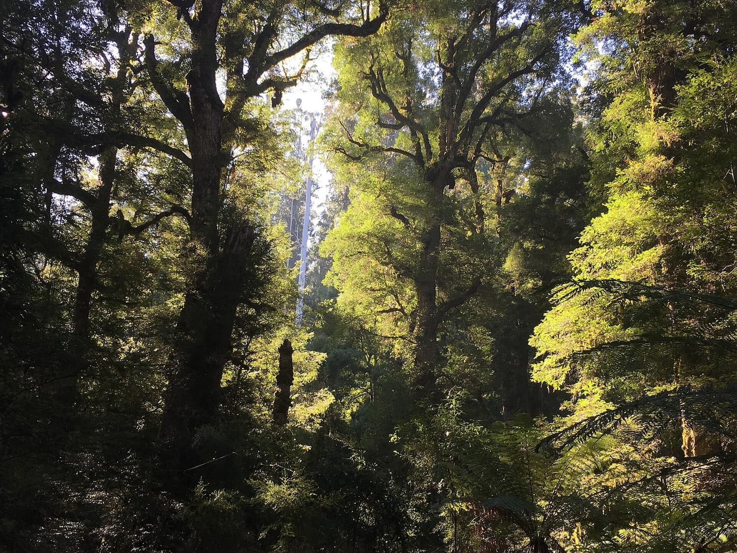
Ask for a quoteYarra Ranges National Park, near Warburton. Photo: Miffymaws, CC BY-SA 4.0

SLO22 on every house block
Warburton was surveyed in the valley in 1884, after the gold settlement of Yankee Jim's Creek on Mount Little Joe was abandoned. Its house blocks are a small part of a large locality, about 2%, and nearly all of them are under SLO22. SLO22 asks for a planning permit for a front fence unless it is under 1.2 m or more than 75% see-through. Side and back fences are outside its fence rule.
Within 3 m of the street the building rules add a limit of 1.5 m (1.2 m in brick or concrete); Yarra Ranges' zones set no front-fence height of their own. Elsewhere on the block a fence up to 2 m needs no building permit. Fence permits lists the exceptions.
Checked 25 October 2026 against Wikipedia: Warburton, Victoria, Vicmap Planning, the state's zone and overlay maps (DataVic), measured across the suburb, Yarra Ranges Planning Scheme, Schedules to Clause 42.03 (SLO1–6, SLO22, SLO23) and Building Regulations 2018 (Vic), authorised version 031.
Heritage streets
The planning map lists 15 heritage places in the locality, and the Sanitarium and Signs Publishing buildings on Main Street are on the Victorian Heritage Register. A few house blocks fall inside Heritage Overlay places. On those, a fence visible from a street or a public park needs a planning permit, and the council's schedule lists the controls for each place.
A VicPlan property report shows whether your block is in one.
Checked 25 October 2026 against Wikipedia: Warburton, Victoria, Vicmap Planning, the state's zone and overlay maps (DataVic), measured across the suburb, Victoria Planning Provisions, Clause 43.01 (Heritage Overlay) and Yarra Ranges Planning Scheme, Schedule to Clause 43.01 (heritage places).
Backing onto forest and catchment
More than half the locality is public conservation land and forest, and another third is public utility land, much of it water catchment. Where a block meets national park or Crown land, the Crown doesn't contribute to the fence under the Fences Act. The private farm and bush blocks further out are under SLO4, which asks for a permit for a fence unless it is under 1.8 m and more than 75% see-through. ESO1 covers nearly all of the locality; its fence wording is unclear, so ask Yarra Ranges planning. Dividing fences covers who pays.
Checked 25 October 2026 against Vicmap Planning, the state's zone and overlay maps (DataVic), measured across the suburb, Fences Act 1968 (Vic), authorised version 072, Yarra Ranges Planning Scheme, Schedules to Clause 42.03 (SLO1–6, SLO22, SLO23) and Yarra Ranges Planning Scheme, Schedules to Clause 42.01 (ESO1, ESO2).
The whole town in the bushfire overlay
Every house block is in the Bushfire Management Overlay. Beside a boundary fence built before 10 September 2009, vegetation can be cleared 4 m wide, both sides together, without a planning permit. CFA advises against fences near windows, decks and eaves; that is advice, not a rule.
Checked 25 October 2026 against Vicmap Planning, the state's zone and overlay maps (DataVic), measured across the suburb, Victoria Planning Provisions, Clause 52.12 (bushfire protection exemptions) and CFA: designing a fire-resistant garden.
Downstream
- Yarra Junction
- SLO22 on most house blocks, so the same front-fence rule.
Checked 25 October 2026 against Yarra Ranges Planning Scheme, Schedules to Clause 42.03 (SLO1–6, SLO22, SLO23).
Ask for a quote
Tell us where you are and what needs doing, and we'll contact you as soon as possible.