Fencing in Millgrove
In Millgrove the planning scheme says little about a town fence, and the bushfire overlay over nearly every house block says a lot about what grows along it.
We connect you with a local fencer who works in the Yarra Valley.
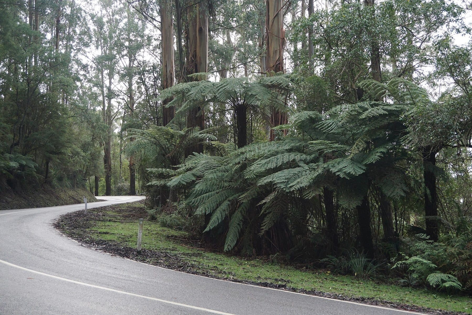
Ask for a quoteMount Donna Buang, above Warburton. Photo: MDRX, CC BY-SA 4.0

A town in the bushfire overlay
Millgrove sits under Mount Donna Buang, Ben Cairn and Mount Little Joe, on both sides of the Warburton Highway, and the CFA station doubles as a community fire refuge. Almost every house block in town is in the Bushfire Management Overlay. For fencing, that matters most along old boundaries: beside a fence built before 10 September 2009, vegetation can be cleared 4 m wide, both sides together, without a planning permit.
When the fence itself is replaced, CFA's garden advice is to keep fences away from windows, decks and eaves and to favour non-combustible materials near the house. That is advice, not a rule. Clearing a fence line has the exemption's conditions.
Checked 25 October 2026 against Wikipedia: Millgrove, Victoria, Vicmap Planning, the state's zone and overlay maps (DataVic), measured across the suburb, Victoria Planning Provisions, Clause 52.12 (bushfire protection exemptions) and CFA: designing a fire-resistant garden.
No landscape overlay on the town blocks
The town's house blocks, about a tenth of the locality, carry almost no landscape overlay, so the landscape overlays don't add a planning permit for an ordinary fence there, though something else on the property report might. The building rules set the heights: 2 m with no building permit, but 1.5 m within 3 m of the street (1.2 m in brick or concrete).
A free VicPlan property report lists the overlays on your block.
Checked 25 October 2026 against Vicmap Planning, the state's zone and overlay maps (DataVic), measured across the suburb, Victoria Planning Provisions, Clause 62.02 (buildings and works) and Building Regulations 2018 (Vic), authorised version 031.
The slopes above town
Up the hill the land is green wedge and rural conservation, and most of it is under SLO4. Its fence test has two parts: under 1.8 m and more than 75% see-through, or a planning permit. A post-and-wire fence passes; a paling fence doesn't, whatever its height. ESO1 covers nearly two thirds of the locality, and its fence wording is unclear, so ask Yarra Ranges planning before building on land it covers. Fence permits goes through the overlays.
Checked 25 October 2026 against Vicmap Planning, the state's zone and overlay maps (DataVic), measured across the suburb, Yarra Ranges Planning Scheme, Schedules to Clause 42.03 (SLO1–6, SLO22, SLO23) and Yarra Ranges Planning Scheme, Schedules to Clause 42.01 (ESO1, ESO2).
The next towns along
- Warburton
- House blocks under SLO22: a front fence needs a permit unless it is under 1.2 m or more than 75% see-through.
- Wesburn
- Highway house blocks mostly without a landscape overlay, as here; SLO4, SLO6 and SLO2 on the land behind.
Checked 25 October 2026 against Yarra Ranges Planning Scheme, Schedules to Clause 42.03 (SLO1–6, SLO22, SLO23).
Ask for a quote
Tell us where you are and what needs doing, and we'll contact you as soon as possible.