Fencing in Gladysdale
Gladysdale has no town blocks, only rural conservation land and farms, nearly all under an overlay that exempts post and open wire and little else.
We connect you with a local fencer who works in the Yarra Valley.
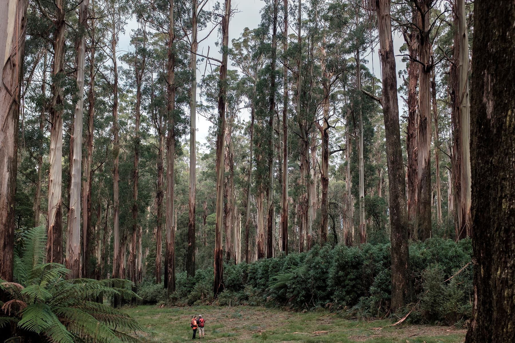
Ask for a quoteThe Monda Trail, Yarra Ranges National Park. Photo: Geoff Bartlett, CC BY-SA 4.0

Rural conservation blocks
Gladysdale, on the Yarra Junction to Noojee road, had 423 people at the 2021 census and no residential zone at all. The largest share of it, about 43%, is Rural Conservation Zone, with green wedge farmland making up most of the rest. Blocks are big and boundaries long, so the Fences Act's half-each rule covers a lot of fence. Where a farm meets a house block, the sufficient fence is the farm standard. Dividing fences covers the notice.
Checked 25 October 2026 against Wikipedia: Gladysdale, Victoria, Vicmap Planning, the state's zone and overlay maps (DataVic), measured across the suburb, Fences Act 1968 (Vic), authorised version 072 and Victorian Government: fencing in Victoria.
SLO6 and the open-wire fence
Almost all of Gladysdale is under SLO6. It asks for a planning permit for any fence except rural post and open-weave wire under 1.8 m. A close-mesh or solid fence around a house yard needs one. ESO1 covers about three fifths of the locality too, and because its fence wording is unclear, check with Yarra Ranges planning before you build on land it covers.
Your VicPlan property report lists both overlays if they apply.
Checked 25 October 2026 against Vicmap Planning, the state's zone and overlay maps (DataVic), measured across the suburb, Yarra Ranges Planning Scheme, Schedules to Clause 42.03 (SLO1–6, SLO22, SLO23) and Yarra Ranges Planning Scheme, Schedules to Clause 42.01 (ESO1, ESO2).
The old sawmill country and the reserves
The area was first called Slatey Creek. It had sawmills, and the timber tramway from Powelltown to Yarra Junction carried its mail. A local club gave the land for the oval and reserve now named after the sawmiller Ernest Lloyd. About 18% of Gladysdale is park or reserve. The Crown doesn't contribute to a fence beside it, and a council holding a public park isn't an owner under the Fences Act.
Checked 25 October 2026 against Wikipedia: Gladysdale, Victoria, Vicmap Planning, the state's zone and overlay maps (DataVic), measured across the suburb and Fences Act 1968 (Vic), authorised version 072.
Down the road
- Yarra Junction
- SLO22 on the town blocks, which only asks about front fences, and SLO6 on the farms around them.
- Hoddles Creek and Wesburn
- More SLO6 farm and bush, with SLO4 and SLO2 also on Wesburn's private land.
Checked 25 October 2026 against Yarra Ranges Planning Scheme, Schedules to Clause 42.03 (SLO1–6, SLO22, SLO23).
Ask for a quote
Tell us where you are and what needs doing, and we'll contact you as soon as possible.