Fencing in Seville East
Seville East is farm country with a handful of house streets, and where a paddock meets a backyard, the farm fence is the one the neighbours share.
We connect you with a local fencer who works in the Yarra Valley.
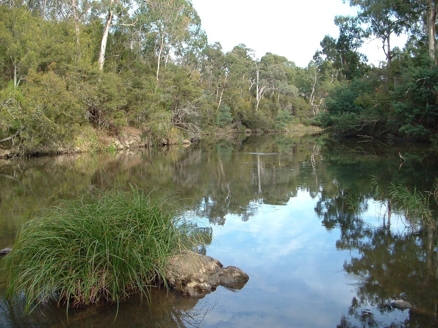
Ask for a quoteThe Yarra River at Wonga Park. Photo: Luke Steenhuis, CC BY-SA 4.0

Mostly farms, one fence rule
Seville East has about 840 residents, and nearly three quarters of the locality is Green Wedge farmland, with Rural Conservation land making up most of the rest. Every part of it is under a landscape overlay: SLO6 on the farms and mostly SLO2 on the conservation land. Both ask for a planning permit for a fence unless it is rural post and open-weave wire under 1.8 m.
About a third of the locality also has ESO1, whose fence wording is unclear; ask Yarra Ranges planning if your VicPlan report shows it. The flood overlay covers about a sixth, and there a fence of any kind needs a planning permit.
Checked 25 October 2026 against Wikipedia: Seville East, Victoria, Vicmap Planning, the state's zone and overlay maps (DataVic), measured across the suburb, Yarra Ranges Planning Scheme, Schedules to Clause 42.03 (SLO1–6, SLO22, SLO23), Yarra Ranges Planning Scheme, Schedules to Clause 42.01 (ESO1, ESO2) and Victoria Planning Provisions, Clause 44.04 (Land Subject to Inundation Overlay).
Where a farm meets a house block
The few residential streets are under SLO22, which only asks about front fences: a permit unless under 1.2 m or more than 75% see-through. Where one of those blocks meets a farm, the Fences Act takes the farm standard as the sufficient fence, and the owners share its cost equally. A house owner who wants a paling fence on that line pays the difference. Dividing fences covers the notice.
Checked 25 October 2026 against Vicmap Planning, the state's zone and overlay maps (DataVic), measured across the suburb, Yarra Ranges Planning Scheme, Schedules to Clause 42.03 (SLO1–6, SLO22, SLO23) and Fences Act 1968 (Vic), authorised version 072.
Either side of Seville East
- Seville and Woori Yallock
- Bigger SLO22 townships, with farms under the post-and-wire rule around them.
Checked 25 October 2026 against Vicmap Planning, the state's zone and overlay maps (DataVic), measured across the suburb and Yarra Ranges Planning Scheme, Schedules to Clause 42.03 (SLO1–6, SLO22, SLO23).
Ask for a quote
Tell us where you are and what needs doing, and we'll contact you as soon as possible.