Fencing in Wandin North
Wandin North's village sits on the old Warburton railway, now a rail trail, with farms under two landscape overlays on every side.
We connect you with a local fencer who works in the Yarra Valley.
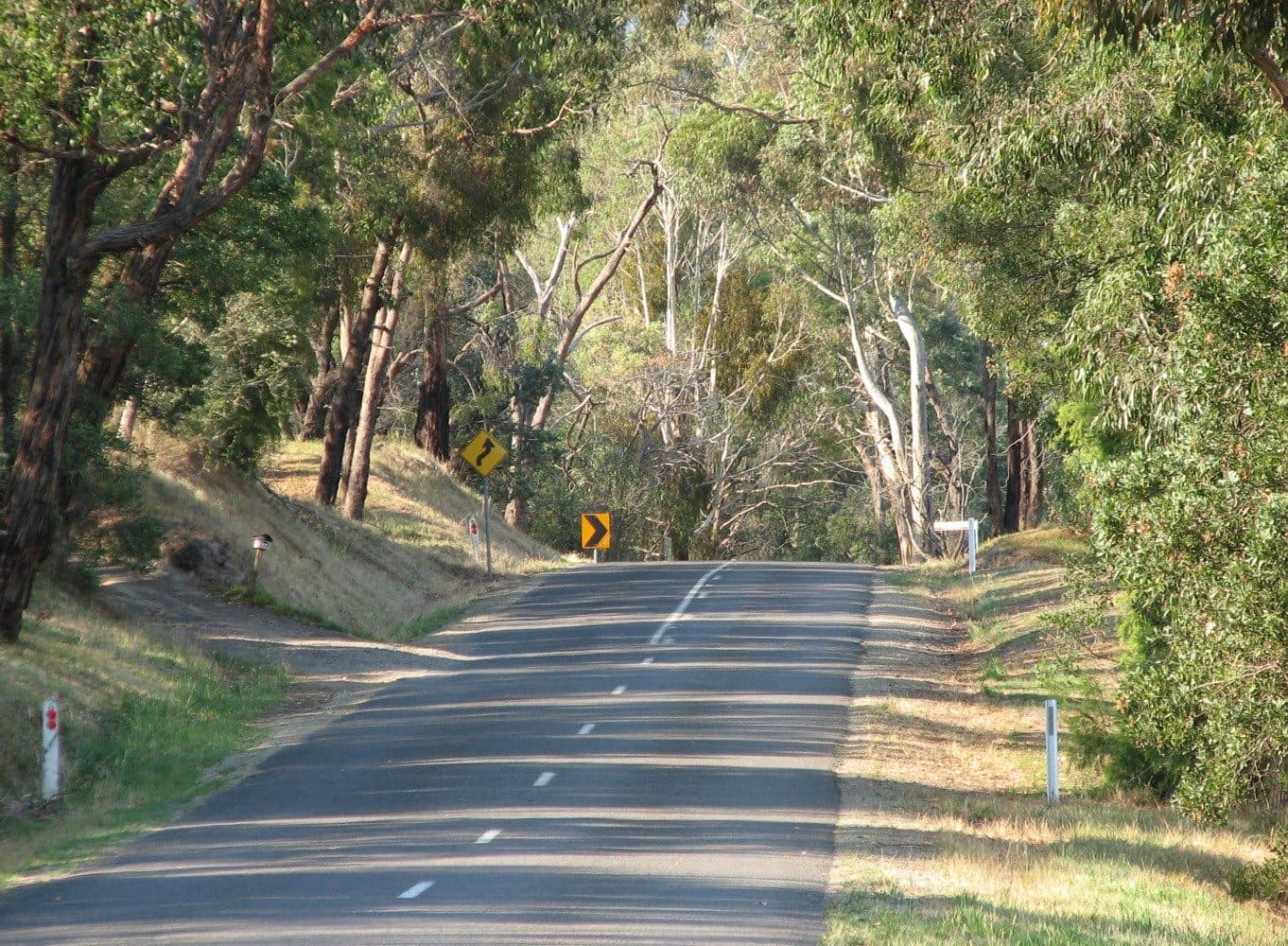
Ask for a quoteSteels Creek Road, Steels Creek. Photo: Melburnian, CC BY 2.5

A village that moved to the railway
When the Warburton branch line opened in 1901, the Wandin district's centre moved north to the railway, to what is now Wandin North. The old Wandin station platform is still here, and the line's reserve is now the Lilydale to Warburton Rail Trail. If your block backs onto the trail, who holds that land decides the cost share. If it is the Crown, it pays nothing; if it is a council holding it as a public park, the Fences Act doesn't treat the council as an owner. Either way the fence is usually yours.
Checked 25 October 2026 against Wikipedia: Wandin North, Victoria, Wikipedia: Wandin East, Victoria and Fences Act 1968 (Vic), authorised version 072.
House blocks: SLO22 and the street
Only about 6% of Wandin North is zoned residential, and those streets are under SLO22. A front fence there needs a planning permit unless it is under 1.2 m or more than 75% see-through. Separately, a building permit is needed for a fence over 1.5 m within 3 m of the street, or over 1.2 m if it is brick or concrete. Fence permits lays out both sets of rules.
Checked 25 October 2026 against Vicmap Planning, the state's zone and overlay maps (DataVic), measured across the suburb, Yarra Ranges Planning Scheme, Schedules to Clause 42.03 (SLO1–6, SLO22, SLO23) and Building Regulations 2018 (Vic), authorised version 031.
Red soil and rolling hills
The rest is farmland, split between SLO5, the red-soil overlay, and SLO6. For fences they agree: a permit is needed unless the fence is rural post and open-weave wire under 1.8 m. Between two farms, wire and post is also the state's example of a sufficient fence, the one neighbours split equally.
About a fifth of the locality carries ESO1. Its fence wording is ambiguous, so ask Yarra Ranges planning if your VicPlan property report lists it. Farm fencing covers barbed wire and wildlife.
Checked 25 October 2026 against Vicmap Planning, the state's zone and overlay maps (DataVic), measured across the suburb, Yarra Ranges Planning Scheme, Schedules to Clause 42.03 (SLO1–6, SLO22, SLO23), Yarra Ranges Planning Scheme, Schedules to Clause 42.01 (ESO1, ESO2) and Victorian Government: fencing in Victoria.
On the other side of the fence
- Lilydale
- A larger town, with SLO22 and SLO23 on its residential streets.
- Seville and Wandin East
- SLO5 red-soil farms again; Seville has its own SLO22 township.
- Coldstream and Gruyere
- Open valley and hill farms. On one small pocket of Coldstream's town, DDO19 adds a fence permit on lots under 800 m² or with several dwellings.
Checked 25 October 2026 against Vicmap Planning, the state's zone and overlay maps (DataVic), measured across the suburb, Yarra Ranges Planning Scheme, Schedules to Clause 42.03 (SLO1–6, SLO22, SLO23) and Yarra Ranges Planning Scheme, Schedules to Clause 43.02 (DDOs).
Ask for a quote
Tell us where you are and what needs doing, and we'll contact you as soon as possible.