Fencing in Wandin East
Every block in Wandin East is under the red-soil farm overlay, so the fence it leaves alone is the orchard's post and wire.
We connect you with a local fencer who works in the Yarra Valley.
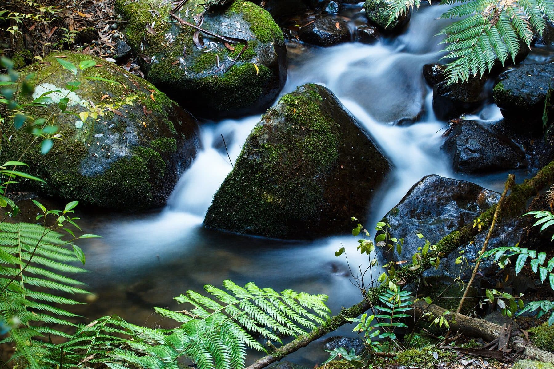
Ask for a quoteCement Creek, Mount Donna Buang. Photo: Rexness, CC BY 2.0

Orchard fences under SLO5
Wandin East is red-soil fruit country: cherries, strawberries, raspberries and apples, and lately wine grapes. Almost all of it is Green Wedge, and all of it is under SLO5, Yarra Ranges' overlay for the red-soil farms. SLO5 asks for a planning permit for a fence unless it is rural post and open-weave wire under 1.8 m. A tall solid fence or close mesh along a road boundary would need one.
Wandin Yallock Creek and Boggy Creek run through the locality, and about a third of it carries an erosion overlay, whose rules aren't covered here. About a tenth has ESO1, whose fence wording is unclear. Check your VicPlan property report and ask Yarra Ranges planning if either overlay is on it.
Checked 25 October 2026 against Wikipedia: Wandin East, Victoria, Vicmap Planning, the state's zone and overlay maps (DataVic), measured across the suburb, Yarra Ranges Planning Scheme, Schedules to Clause 42.03 (SLO1–6, SLO22, SLO23) and Yarra Ranges Planning Scheme, Schedules to Clause 42.01 (ESO1, ESO2).
Sharing a boundary between orchards
Between two farms, the state's example of a sufficient fence is wire and post, and neighbours pay half each. If one wants something better, that owner pays the extra. Wandin East Reserve hosts the Wandin-Silvan Field Days. Along any public reserve the rules differ: the Crown doesn't contribute, and a council holding a public park isn't an owner under the Fences Act, so such a fence is usually yours alone. Farm fencing and dividing fences go into the detail.
Checked 25 October 2026 against Wikipedia: Wandin East, Victoria, Fences Act 1968 (Vic), authorised version 072 and Victorian Government: fencing in Victoria.
The red soil carries on
- Wandin North and Seville
- SLO5 and SLO6 on the farms, and a township under SLO22, where front fences have their own rule.
Checked 25 October 2026 against Vicmap Planning, the state's zone and overlay maps (DataVic), measured across the suburb and Yarra Ranges Planning Scheme, Schedules to Clause 42.03 (SLO1–6, SLO22, SLO23).
Ask for a quote
Tell us where you are and what needs doing, and we'll contact you as soon as possible.