Fencing in Wonga Park
Wonga Park is the one suburb on this site that is mostly Manningham, so the fence rules start with which council your lot is in.
We connect you with a local fencer who works in the Yarra Valley.
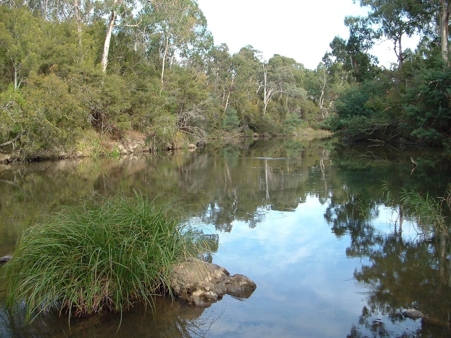
Ask for a quoteThe Yarra River at Wonga Park. Photo: Luke Steenhuis, CC BY-SA 4.0

Which council you are in
Wonga Park is split between Manningham, Yarra Ranges and Maroondah, but more than nine tenths of it is Manningham. Most of that is Rural Conservation zoning on big lots, with some Low Density Residential. Manningham's only front-fence height in its zones is 1.2 m, in its General Residential Zone schedule 1, and very little of Wonga Park is zoned that way. Elsewhere the building rules apply: a fence up to 2 m needs no building permit, and within 3 m of the street the limit is 1.5 m (1.2 m in brick or concrete).
Checked 25 October 2026 against Wikipedia: Wonga Park, Victoria, Vicmap Planning, the state's zone and overlay maps (DataVic), measured across the suburb, Manningham Planning Scheme, Clause 32.08 schedules (front fence height) and Building Regulations 2018 (Vic), authorised version 031.
Manningham's overlays
Nearly nine tenths of Wonga Park is under an environmental overlay, and about a seventh under a landscape overlay. Manningham has several of each, and they treat fences differently. Each applies only where your property report shows it:
- ESO2 or ESO3: a fence needs a planning permit unless it is post and wire under 1.2 m, or a rabbit-control fence under 1.2 m.
- ESO4 or SLO1: no fence permit trigger.
- SLO2, the Yarra River corridor: within 30 m of the river bank, or next to public open space, a fence needs a permit unless it is 1.4 m or lower and post and rail or post and wire.
VicPlan's free property report names the council and every overlay on your lot.
Checked 25 October 2026 against Vicmap Planning, the state's zone and overlay maps (DataVic), measured across the suburb and Manningham Planning Scheme, schedules to Clauses 42.01 and 42.03.
The heritage overlay
About a fifth of the locality is under a Heritage Overlay. In a Heritage Overlay a fence that can be seen from a street or a public park needs a planning permit, whichever council it is in. Manningham's schedule also marks fences for control at four Wonga Park places: HO76, HO77, HO189, and a gate at HO39.
Checked 25 October 2026 against Vicmap Planning, the state's zone and overlay maps (DataVic), measured across the suburb, Victoria Planning Provisions, Clause 43.01 (Heritage Overlay) and Manningham Planning Scheme, Schedule to Clause 43.01 (heritage places).
Horses and acreage
Wonga Park grew from grazing properties, and it still has horse riding facilities and large lots. On a block of 2,000 m² or more used mainly for livestock, barbed wire is allowed beside a road or public open space; on smaller blocks it has to be set back or kept 2 m up. Between a horse paddock and a neighbour's house block, the Fences Act takes the farm standard as the sufficient fence. Farm fencing has more.
Checked 25 October 2026 against Wikipedia: Wonga Park, Victoria, Building Regulations 2018 (Vic), authorised version 031 and Fences Act 1968 (Vic), authorised version 072.
Along the river
The Yarra is the northern boundary, and the land beside it is a strip of Warrandyte State Park. The Crown doesn't contribute to a fence, and a council holding a public park isn't an owner under the Fences Act, so a fence on that line is usually yours to pay for. Near the river, check your report for Manningham's SLO2 and its 1.4 m post-and-rail or post-and-wire limit. About a twelfth of the locality is also under the flood overlay, where any fence needs a planning permit.
In the Bushfire Management Overlay, vegetation along a boundary fence built before 10 September 2009 can be cleared 4 m wide without a planning permit; clearing a fence line has the conditions.
Checked 25 October 2026 against Wikipedia: Wonga Park, Victoria, Vicmap Planning, the state's zone and overlay maps (DataVic), measured across the suburb, Fences Act 1968 (Vic), authorised version 072, Manningham Planning Scheme, schedules to Clauses 42.01 and 42.03, Victoria Planning Provisions, Clause 44.04 (Land Subject to Inundation Overlay) and Victoria Planning Provisions, Clause 52.12 (bushfire protection exemptions).
On the Yarra Ranges side
- Chirnside Park
- Yarra Ranges. Its suburban streets are SLO23, which has no fence provision; its green wedge is under SLO2 and SLO6, which don't require a permit for post and open-weave wire under 1.8 m.
Checked 25 October 2026 against Yarra Ranges Planning Scheme, Schedules to Clause 42.03 (SLO1–6, SLO22, SLO23).
Ask for a quote
Tell us where you are and what needs doing, and we'll contact you as soon as possible.