Fencing in Chirnside Park
Chirnside Park is a 1950s subdivision of a grazing run, and the fence rules still divide along that line: suburban streets on one side, paddocks on the other.
We connect you with a local fencer who works in the Yarra Valley.
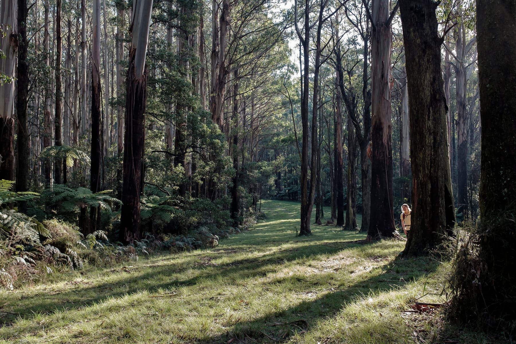
Ask for a quoteThe Monda Trail, Yarra Ranges National Park. Photo: Geoff Bartlett, CC BY-SA 4.0

From grazing run to housing estates
Chirnside Park was Mooroolbark Park, a grazing property, until the Shire of Lillydale approved its subdivision in 1956. The name came in 1962. Housing has spread out since, including the Cloverlea estate on the old golf course. Its Neighbourhood Residential streets are under SLO23, the landscape overlay with no fence provision, so a fence there is mainly a building-rules question.
A side or back fence up to 2 m needs no building permit. Yarra Ranges' zones set no front-fence height of their own, so within 3 m of the street the building rules' limit is 1.5 m (1.2 m in brick or concrete). The Oakhaven estate carries a development plan overlay instead of SLO23; your property report will show it.
Get the property report free from VicPlan.
Checked 25 October 2026 against Wikipedia: Chirnside Park, Victoria, Vicmap Planning, the state's zone and overlay maps (DataVic), measured across the suburb, Yarra Ranges Planning Scheme, Schedules to Clause 42.03 (SLO1–6, SLO22, SLO23) and Building Regulations 2018 (Vic), authorised version 031.
Old fences in the first streets
Houses built before 1990 are likely to contain asbestos somewhere, and fences are on the state's list. A grey sheet fence in the streets laid out from the late 1950s is worth having identified before anyone cuts, drills or breaks it. Asbestos fences covers who may remove it and where it can go.
Checked 25 October 2026 against Wikipedia: Chirnside Park, Victoria, Asbestos in Victoria: where is asbestos? and Asbestos in Victoria: safe removal steps.
Two thirds green wedge
Most of Chirnside Park by area is still green wedge, out toward the Yarra and the Heritage Golf and Country Club. That land is under SLO2 or SLO6. Under both, a fence needs a planning permit unless it is rural post and open-weave wire under 1.8 m, so a solid or close-mesh fence on a paddock is a permit question. Where a farm meets a house block, the Fences Act takes the farm standard as the sufficient fence. Farm fencing has more.
Close to a tenth of the suburb is under the flood overlay, which needs a planning permit for a fence. A smaller share has ESO1, whose fence wording is unclear; if your report shows it, ask Yarra Ranges planning.
Checked 25 October 2026 against Wikipedia: Chirnside Park, Victoria, Vicmap Planning, the state's zone and overlay maps (DataVic), measured across the suburb, Yarra Ranges Planning Scheme, Schedules to Clause 42.03 (SLO1–6, SLO22, SLO23), Fences Act 1968 (Vic), authorised version 072, Victoria Planning Provisions, Clause 44.04 (Land Subject to Inundation Overlay) and Yarra Ranges Planning Scheme, Schedules to Clause 42.01 (ESO1, ESO2).
What changes next door
- Mooroolbark
- SLO23 streets like Chirnside Park's, with SLO22 on its bigger blocks.
- Lilydale
- Streets split between SLO23 and SLO22, which governs front fences.
- Wonga Park
- Over the boundary into Manningham, with different overlays.
- Coldstream
- Farmland under SLO2 and SLO6, with SLO22 over most of its small town.
Checked 25 October 2026 against Vicmap Planning, the state's zone and overlay maps (DataVic), measured across the suburb and Yarra Ranges Planning Scheme, Schedules to Clause 42.03 (SLO1–6, SLO22, SLO23).
Ask for a quote
Tell us where you are and what needs doing, and we'll contact you as soon as possible.