Fencing in Badger Creek
Badger Creek has no town blocks on the planning map, so almost every fence here is on acreage under SLO6, where the overlay needs a permit for every fence except plain post and wire.
We connect you with a local fencer who works in the Yarra Valley.
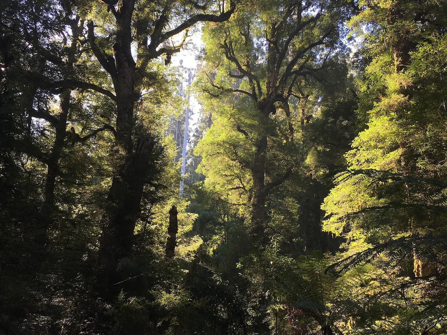
Ask for a quoteYarra Ranges National Park, near Warburton. Photo: Miffymaws, CC BY-SA 4.0

Acreage, not town blocks
About 1,600 people live in Badger Creek, a few kilometres from Healesville, but none of the land is zoned residential. It is Green Wedge and Rural Conservation, with reserves and catchment between. Most of it is under SLO6, the landscape overlay for rolling farmland and bush, which asks for a planning permit for a fence unless it is rural post and open-weave wire under 1.8 m. A paling or colorbond fence along a boundary is a permit question here, even a short one.
About three fifths of the locality also carries ESO1. Its wording on fences is unclear, so if your property report shows it, ask Yarra Ranges planning before you build. VicPlan gives the report free.
Checked 25 October 2026 against Wikipedia: Badger Creek, Victoria, Vicmap Planning, the state's zone and overlay maps (DataVic), measured across the suburb, Yarra Ranges Planning Scheme, Schedules to Clause 42.03 (SLO1–6, SLO22, SLO23) and Yarra Ranges Planning Scheme, Schedules to Clause 42.01 (ESO1, ESO2).
Next to the sanctuary and the bushland
Healesville Sanctuary is on Badger Creek Road, and the old Coranderrk reserve is now Coranderrk Bushland. About a sixth of the locality is park or conservation reserve. The Crown doesn't contribute to a fence, and a council holding a public park isn't an owner under the Fences Act, so a fence on a reserve boundary is usually yours to pay for. About a quarter of the locality is also under the Heritage Overlay, where a fence seen from a street or a park needs a permit. Dividing fences covers the neighbours you do share with.
Checked 25 October 2026 against Wikipedia: Badger Creek, Victoria, Vicmap Planning, the state's zone and overlay maps (DataVic), measured across the suburb, Fences Act 1968 (Vic), authorised version 072 and Victoria Planning Provisions, Clause 43.01 (Heritage Overlay).
Bushfire overlay
Nine tenths of Badger Creek is under the Bushfire Management Overlay. Along a boundary fence built before 10 September 2009, a strip 4 m wide in total can be cleared without a planning permit. CFA advises non-combustible fences, kept away from windows, decks and eaves; that is advice, not a rule. Clearing a fence line has the detail.
Checked 25 October 2026 against Vicmap Planning, the state's zone and overlay maps (DataVic), measured across the suburb, Victoria Planning Provisions, Clause 52.12 (bushfire protection exemptions) and CFA: designing a fire-resistant garden.
Around Badger Creek
- Healesville
- Town blocks under SLO22, where the rule is about front fences.
- Gruyere and Woori Yallock
- More SLO6 farmland, and Woori Yallock's SLO22 township.
- Coldstream
- Open valley farmland. The flood overlay covers about a quarter of it, and there a fence needs a planning permit.
Checked 25 October 2026 against Vicmap Planning, the state's zone and overlay maps (DataVic), measured across the suburb, Yarra Ranges Planning Scheme, Schedules to Clause 42.03 (SLO1–6, SLO22, SLO23) and Victoria Planning Provisions, Clause 44.04 (Land Subject to Inundation Overlay).
Ask for a quote
Tell us where you are and what needs doing, and we'll contact you as soon as possible.